Event Gallery
News & Updates
Pursuant to the County Government Act, 2012 clauses 104-115, County Governments are obliged to prepare a 10-year County Integrated Development Plan (CIDP) – a 5-year plan that informs annual budget a county; A County Sectorial Plan (10-year plan); a County Spatial Plan (a 10-year plan to be reviewed every 5 years); and city and municipal plans based on Geographic information system (GIS). Clauses 105 (f) Obligates counties to establish a GIS based database system to be used as a tool for planning and implementation of the development programs
In compliance with this requirement, the Elgeyo Marakwet County Government (EMC) with assistance from UN Agriculture Food Authority (FAO) has established a GIS Lab. The GIS lab is well equipped with six (6) workstations, a plotter and a scanner. In addition, the County has one cartographer, two surveyors and two planners who are human resource within the lab. In preparation of the county spatial plan EMC sought assistance from the Kenya Space Agency (KSA). Specifically, the county requested high-resolution satellite imagery, the development of a county basemap, land use land cover mapping, crop suitability analysis and capacity building for its technical staff.
The use of satellite imagery is critical in identifying key planning issues, conducting spatial analysis, and shaping the vision for development. Satellite data aids in collecting and analyzing both spatial and socio-economic information within the planning area, helping to establish key issues that need to be addressed. The satellite imagery is used in generating the basemaps as well as the land use cover of the planning areas highlighting specific areas important for key socio-economic development and environmental conservation. The analyzed data is presented inform of graphics, charts, reports and maps.
Kenya Space Agency (KSA) has prioritized the use of space technology to support decision-making at both national and county government levels. As part of this effort, KSA is collaborating with county governments to enhance the utilization of Earth Observation (EO) data for Land Use Land Cover (LULC) mapping, urban planning, and the development of County Integrated Development Plans (CIDPs). In this regard, KSA will be supporting EMC in development of their county spatial plan by providing high-resolution satellite imagery and related geospatial products as well as on technical capacity building to enhance imagery interpretation and generation of maps.
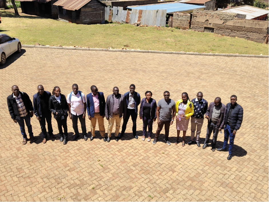
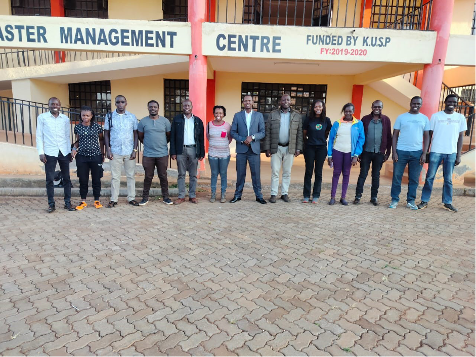
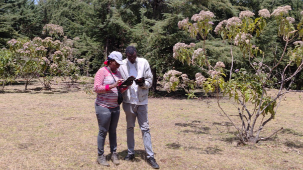
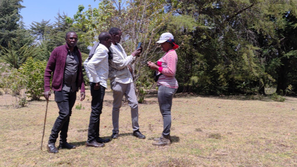
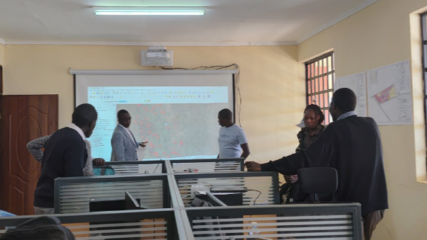
To facilitate this process, the County Government established a two-week work plan. One week (24th–27th February 2025) focused on training the county's technical team and assessing data needs and gaps. The training covered key topics such as land use land cover mapping, relevant software and datasets, and leveraging free and open-source data. The second week (3rd–7th March 2025) dedicated to conducting land use land cover mapping and ground truth verification to ensure accuracy and validation of satellite-based analysis.
The training, land use land cover mapping, and validation exercise in Elgeyo Marakwet County was successfully conducted through the collaborative efforts of Kenya Space Agency and the County technical team. The engagement enhanced the County’s technical capacity in geospatial data handling, image classification, and field validation. Additionally, key datasets were collected, cleaned, and compiled to form the foundation for the county basemap.
Despite challenges such as difficult terrain, security concerns, and access restrictions, the team efficiently validated 143 land use land cover points and mapped 10 wetlands. The exercise laid the groundwork for further geospatial initiatives, including land use planning, environmental sensitivity modelling, crop suitability mapping, and digitization of cadastre maps.
Moving forward, the development of a high-resolution county basemap and refined land use land cover map will provide crucial decision-support tools. The insights gained will inform strategic planning, resource management, and sustainable development within the county. The successful execution of this activity was a testament to the dedication, cooperation, and adherence to timelines by both KSA and the county government.
<< Back to Homepage